For at least the last two years, I have had a mostly unspoken goal to climb Mount Si. I know I have mentioned it here on the blog occasionally, but it has never gotten into the official list of annual goals that I compile every January.
In case you aren't familiar with Mount Si, it is a 4,000 foot mountain located just outside the town of North Bend. For those of you who were fans of the 1990s television series, Twin Peaks, it is the mountain that was shown in the opening titles every week. The Mount Si trail is one of the most popular and heavily traveled in the state. Mr. D climbs it dozens of times every year, especially in winter, because it is almost never impassable due to snow.
Anyway, this was the year that I was determined to finally hike Mount Si. We originally planned to hike it with our friends Sarah and Dave on September 29, but that was the weekend of the record-setting rains, so the hike was cancelled. We rescheduled for the end of October, but Sarah's husband had to work that day. So we finally settled on this past Saturday, November 16, and crossed our fingers that the weather would cooperate.
Mr. D warned me that this late in the fall we could encounter some snow, so I packed my backpack with an extra hooded jacket and some warm mittens and a hat (both knitted by me). We started hiking a little before nine, and the first mile was pretty benign: chilly and a bit muddy from recent rains.
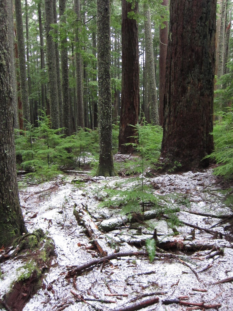
By the time we reached Snag Flats, at mile two, we noticed a dusting of snow, and it was noticeably colder, probably in the mid-30s.
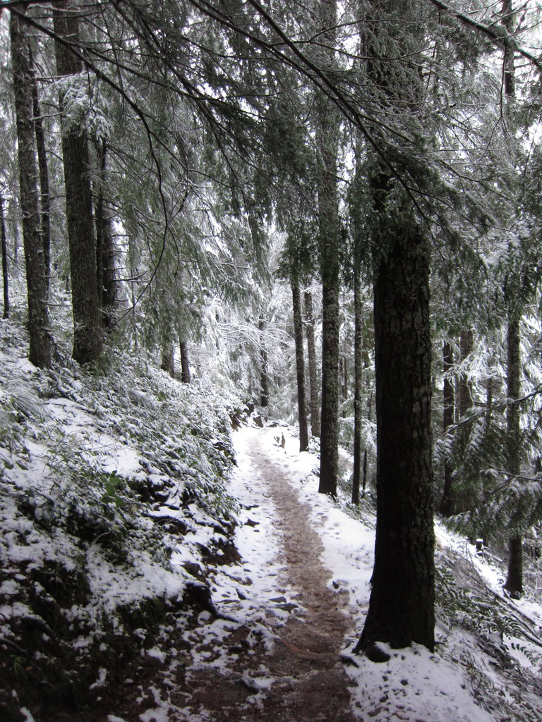
From this point on, there was more snow on the trail, and somewhere in the middle of mile three, we stopped to put on our warmer clothing. Here is what the trail looked like at that point:
The last mile was a slog, but I managed to persevere all the way to the top. By the time we got there, it was snowing in earnest, and COLD! There was no view to speak of, so I will have to wait until I do this hike in better weather to see Mount Rainier looming over the Cascades in the distance. At least the snow on the trees and rocks was very photogenic.
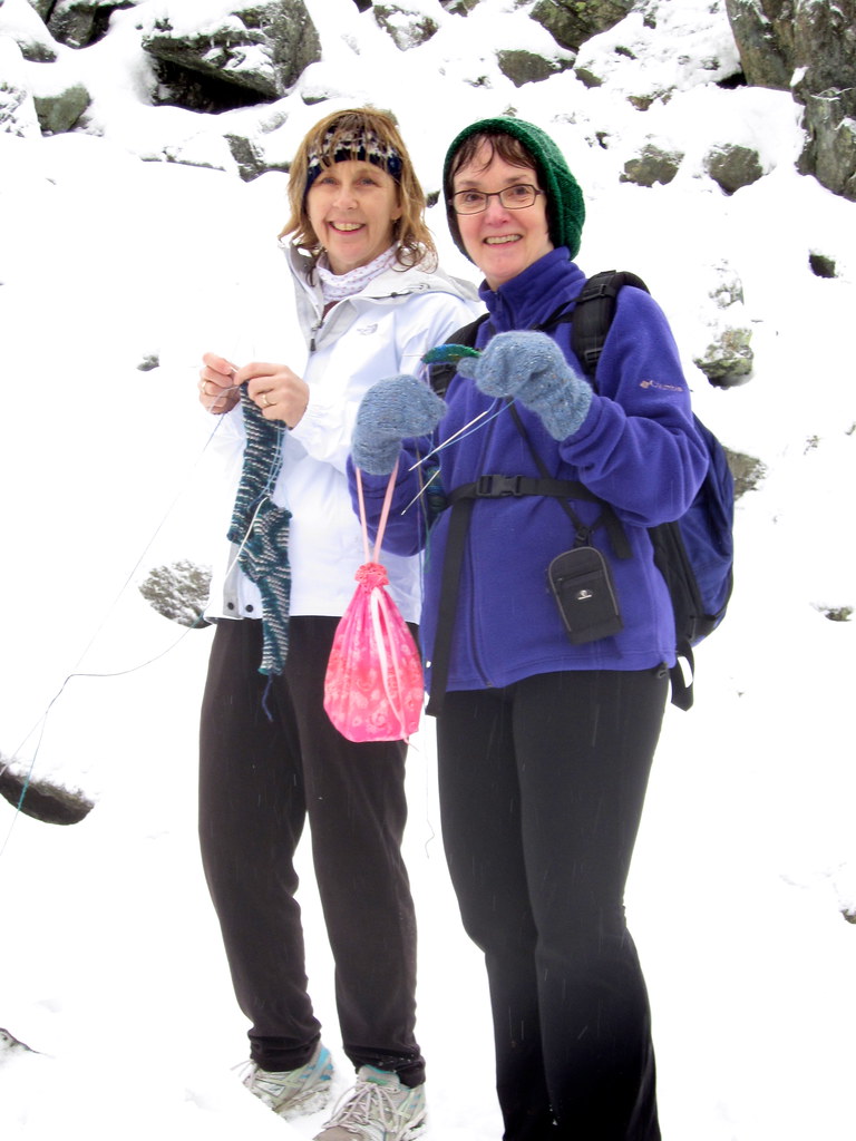
Because of the cold, we didn't linger long on the summit, but Sarah and I did take a few minutes to pose with our knitting. We have decided to bring our knitting every time we hike together, and to call the series, "Knitting in the Wilderness". Check this post for the first photo in the series.
I think Sarah was very brave to actually take her gloves off. My hands were way too cold to even think about doing that! so even though there was knitting present on the mountain, no knitting actually was accomplished. Maybe next time!
This hike officially marks the end of my 2013 hiking season, but watch for occasional posts from some of my winter walks. And guess what? Knitting posts will be making a comeback very shortly!
Tuesday, November 19, 2013
Friday, November 8, 2013
Weekly Hike #21: It's All About the Light
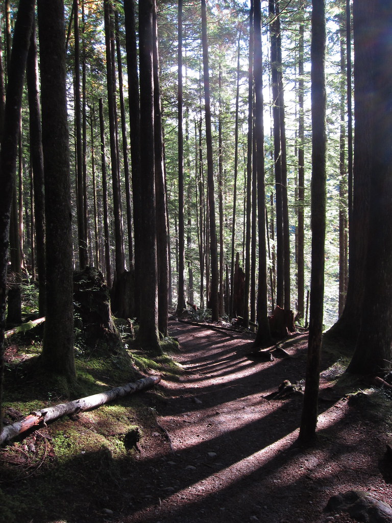
On Monday, October 28—a beautiful sunny day—Mr. D and I decided to hike at Wallace Falls State Park. This hike is a favorite of both of ours, and my favorite time of year to hike there is in the fall. Why, you ask? Well, as the title of this post says, it's all about the light, and especially, the angle of the light. You may remember this photo from a hike at the park in October 2011:
See what I mean about the angle of the light?
We were treated to equally beautiful light on our hike last week. There was sunshine on the autumn leaves along the trail.
There was sunshine and blue skies enhancing the view of the distant Olympic Mountains.
But the most beautiful view of all was the forest, exquisitely bathed in luminous light.
it is, most definitely, all about the light.
Friday, November 1, 2013
Weekly Hike #18: Sunny this Time!
I know that you all have been waiting with bated breath for the elusive hike number 18. (Well, maybe one or two of you have.) On September 19th, following days of checking the weather forecast, Mr. D and I returned to Paradise on Mount Rainier, with only one goal: a sunny day hike with views, to make up for all the clouds and rain that we experienced at the end of August.
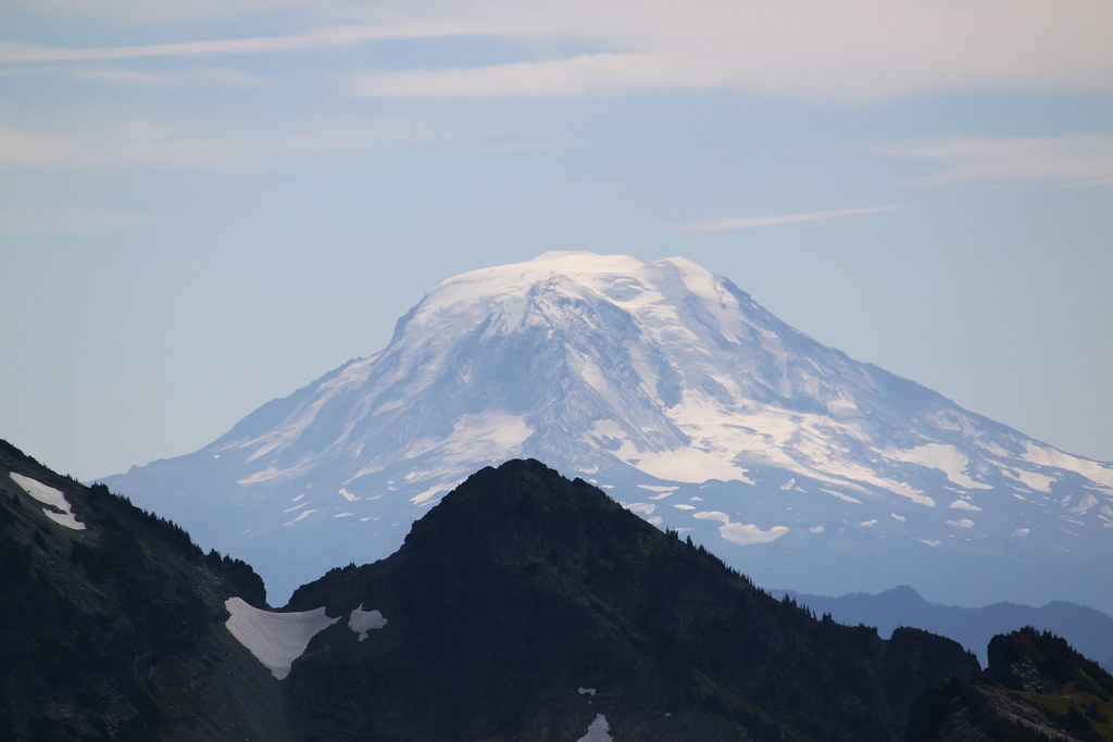
There was no question what hike we would do. We both love hiking up to Panorama Point, and enjoying the spectacular views while we eat our lunch. This time was no different. Here are the view highlights from this day:
That isn't Mount Rainier, although it certainly looks like it, doesn't it? It's Mount Adams, also known as Mount Rainier's "Little Brother". It looks a lot closer to us than it actually was, thanks to my 55-250 millimeter lens.
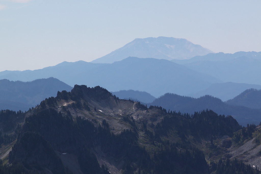
Mount Adams is located southeast of Mount Rainier. When I turned and faced the southwest, I was able to see and photograph Mount St. Helens on the horizon. This is the side of the mountain that blew out when Mt. St. Helens erupted on May 20, 1980.
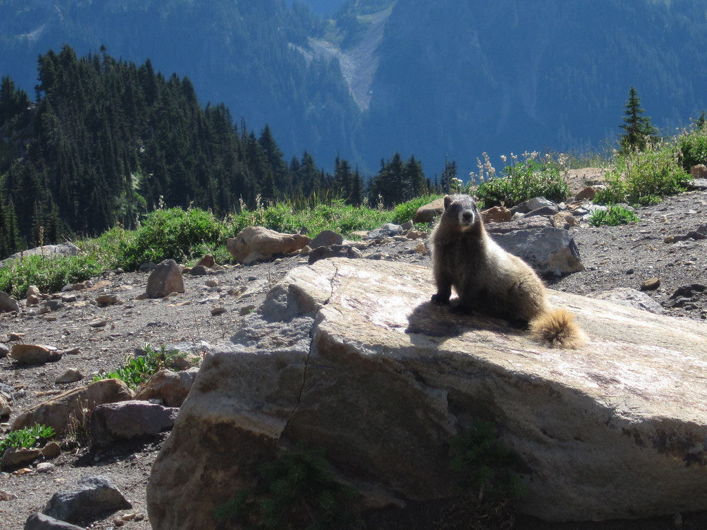
After enjoying these wonderful vistas and eating our lunch, we headed back down the trail toward Paradise. We once again were treated to a relatively close encounter with a marmot:
When we got back to Paradise, and before heading home, we paused for while to soak in the view.
It's always sad to leave Mount Rainier after our last hike of the season, but as I've said before: We'll be back next year, Mount Rainier, we'll be back.
Subscribe to:
Comments (Atom)

