Don't worry, I'm not going to do any more of these "twofer" hikes, but these two occurred so close together in both distance and time that I decided to cover them in the same post. The valley in the title is the Snoqualmie Valley, and the two hikes in question are the west end of the Rattlesnake Mountain trail, which we hiked on May 31, and Little Mount Si, hiked on June 6.
I hiked the west end of the Rattlesnake Mountain trail a couple times last year, but this was the first time I've done it in the spring, with the accompanying new growth and seasonal bright greens.
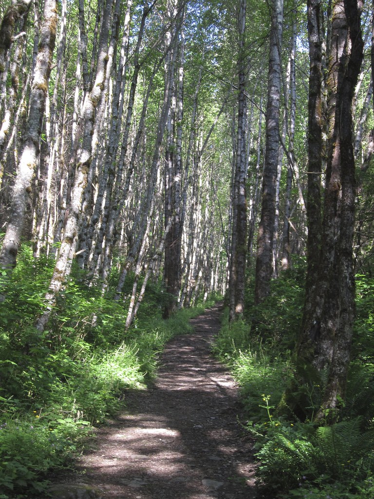
This view is near the start of the hike. I love how the sun casts shadows of the alder trees on the trail. As we hiked further, we came upon hints of summer bounty to come.
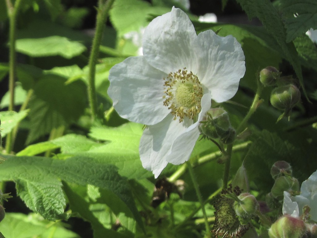
This is a just-opened thimbleberry blossom, that will become a sweet red berry by early August.
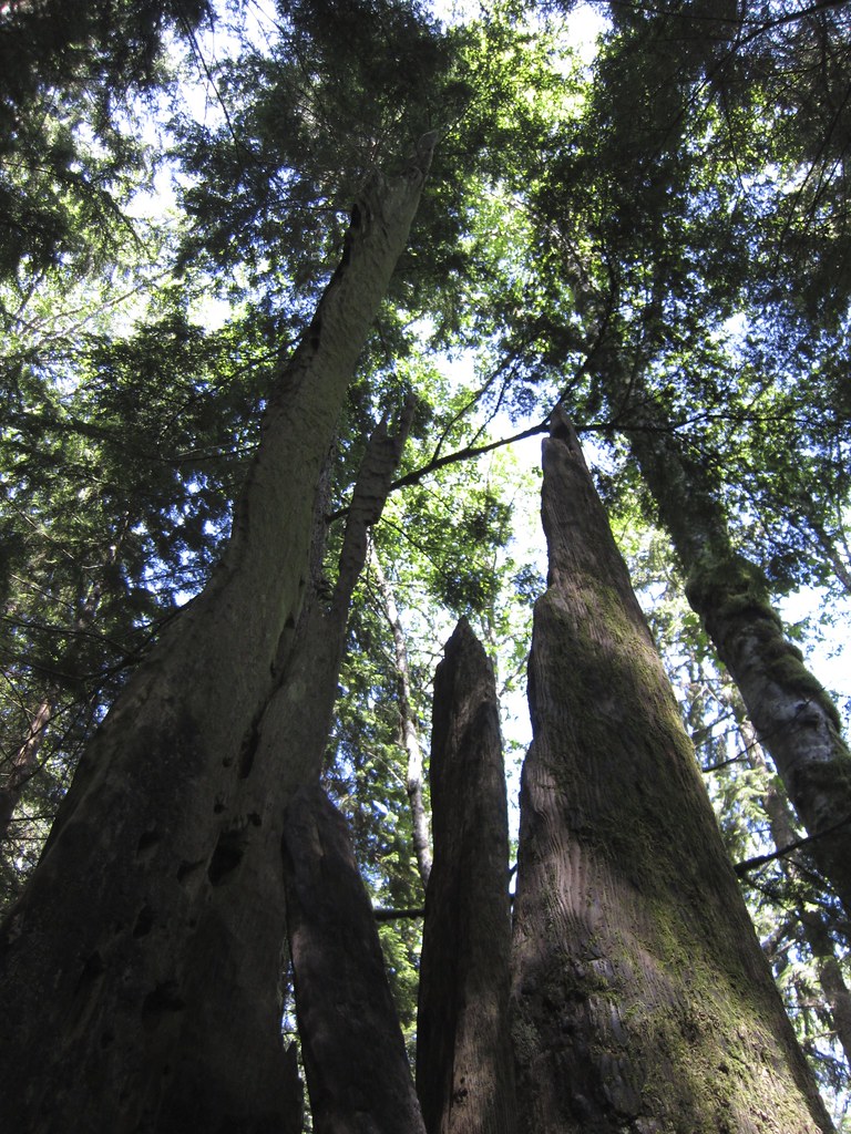
Most of the forests in the foothills of the Cascade Range were once covered with Old Growth forest, which was, sadly, logged many years ago. You can still see evidence of those forests along many trails, and this one is no exception.
Here you can see the base of one of the giant Douglas firs that once covered these slopes, with much younger trees next to it and nearby. The stump and roots of this huge tree probably provided nourishment for the surrounding trees when they were seedlings. Maybe, if we are lucky, these trees will someday be giants like their predecessor.
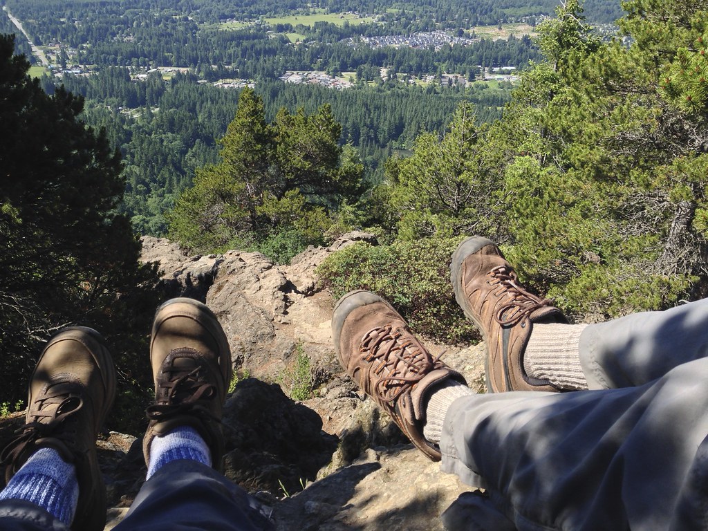
On June 6, a beautiful sunny day, we did our annual hike up Little Mount Si. Mr. D and I have been doing this hike at least once a season for almost as long as we've known each other. The hike is relatively easy, with only one steep and rocky section, the last quarter-mile before the summit. Once on the summit, there are some spectacular views of the Snoqualmie Valley and the surrounding foothills. That's Rattlesnake Mountain underneath that one little cloud. The notch on the left end is Rattlesnake Ledge.
We always take a few minutes to enjoy the view and have a snack before heading back down.
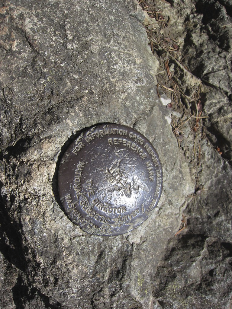
On this hike, I saw two metal markers—one is in the photo below—attached to rocks on the summit. I'm sure that they have been there before, but perhaps I'm more aware of my surroundings than I have been in the past—I'd like to think so, anyway! Wikipedia tells me that the markers are used for land surveying. You can read more about the markers here.
As you can see from these two hikes, we had some perfect late spring hiking weather. Next up is a hike that wasn't so perfect, followed by the first hike of the summer. I'll be back soon to tell you all about both of them.

No comments:
Post a Comment